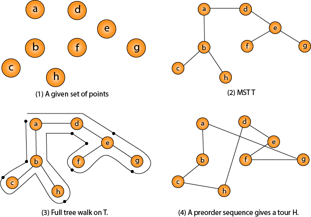
There’s an old problem - “Given a list of cities and the distances between each pair of cities, what is the shortest possible route that visits each city exactly once and returns to the origin city?”
Just enter the coordinates in the carthesian system, and the result will appear as the sum of the segment distances and the shortest path.
App has potential to be expanded:
- show the cartesian coordinate system,
- select each point on the grid,
- draw the line between points to show to the path.
This was one of my challenges so it was created in just one evening. That’s because it’s not so graphically appealing. Refactor and restyling coming soon.
