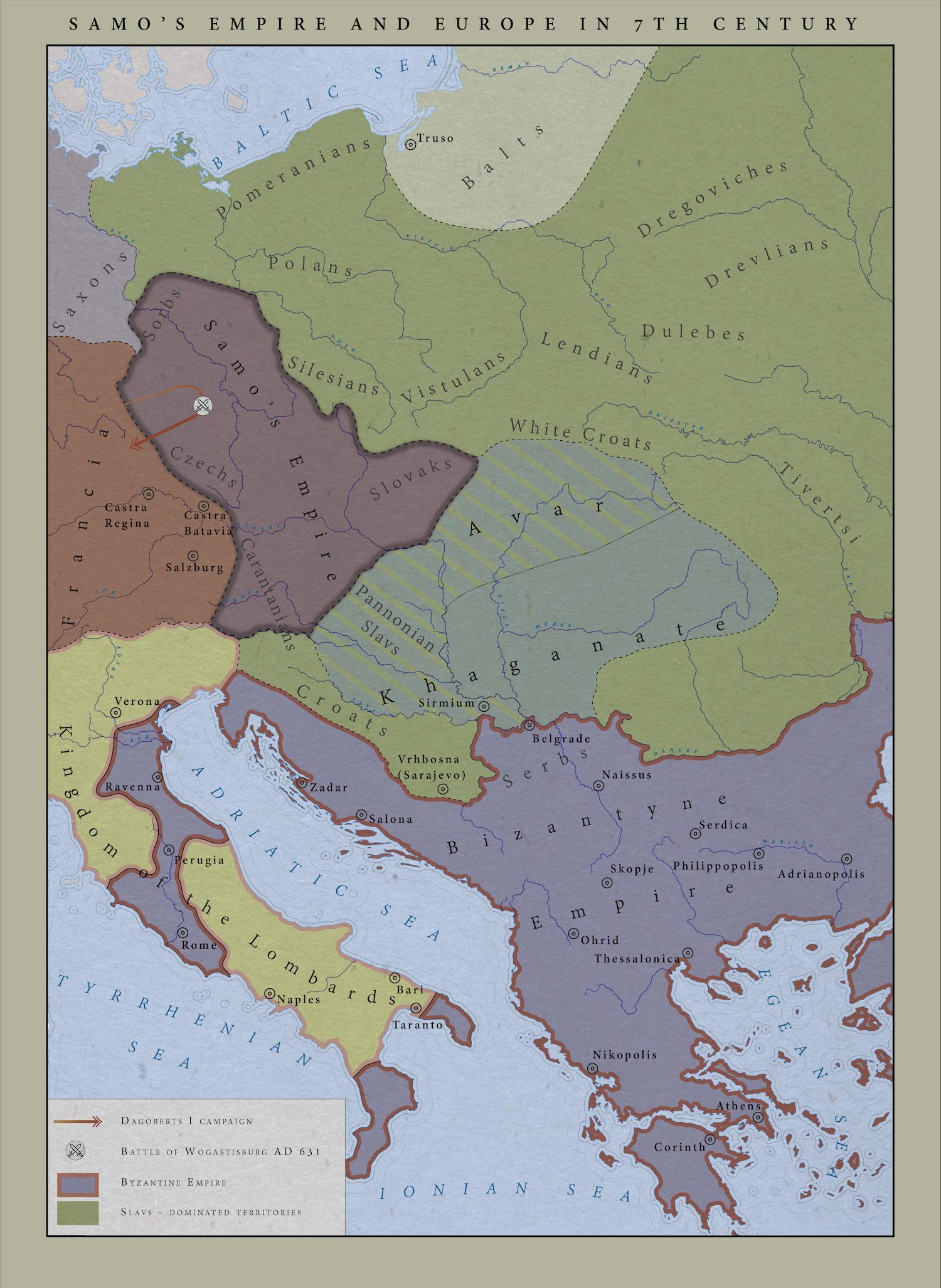
Map created with using various tools. Data were extracted and polished in QGis. After data processing I imported it to Inkscape. Here I spent the most of the time while making this map. All areas, boundaries, places, dots, legend and labels were done in this step. Vector graphics editor like Inkscape or Adobe Illustrator are the best tools to achieve such result. The last part consisted of just post-processing in Photoshop. I’ve added paper-like overlay, polished some features and created the frame for the map. That’s it.
